Description
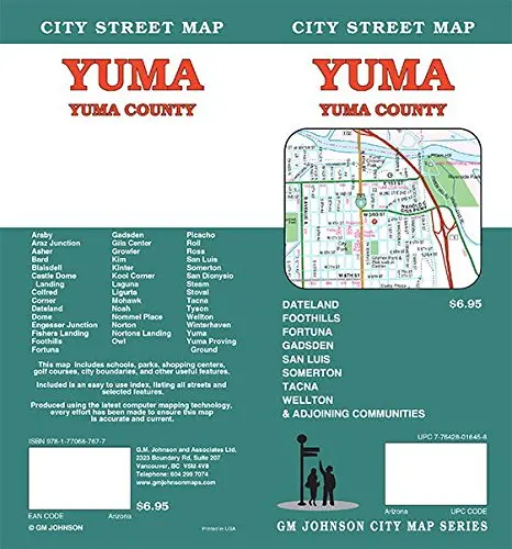
City Street Map Yuma / Yuma County (Arizona)
- Map Coverage Area
Araby, Araz Junction, Asher, Bard, Blaisdell, Colfred, Corner, Dateland, Dome, Engesser Junction, Fishers Landing, Foothills, Fortuna, Gadsden, Gila Center, Growler, Kim, Kinter, Kool Corner, Laguna, Ligurta, Mohawk, Noah, Nommel Place, Norton, Nortons Landing, Owl, Picacho, Roll, Ross, San Luis, Somerton, San Dionysio, Steam, Stoval, Tacna, Tyson, Wellton, Winterhaven, Yuma, Castle Dome, Landing, and Yuma Proving Ground - Publisher
GM Johnson - Author
GM Johnson - Size
27×39 - Finish Size
4×9 - ISBN Code
978-1-77068-767-7 - UPC Code
7-76428-01645-8 - Copyright
February 02, 2018 - Scale
36k
Explore more from our collection.
![Arizona's White Mountains [Map] Russel Mead 1](https://carpartsvault.shop/wp-content/uploads/2026/05/51Yr21jVcsL._SL1000-9RhxEj.tmp_.webp)
![Baja Peninsula Infared From Space Satellite Map Gloss Laminated [Map] Spaceshots Inc. 1](https://carpartsvault.shop/wp-content/uploads/2026/05/41DKYrRbd2L._SL1000_804c6dca-6d63-4e78-ba5f-aedfab787fff-h4Bc68.tmp_.webp)

Reviews
There are no reviews yet.