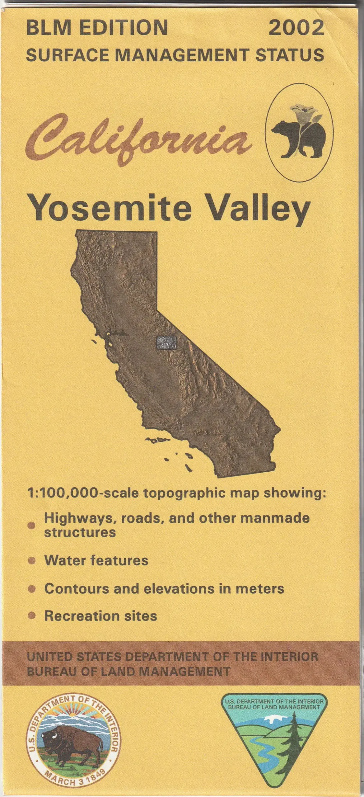
Description
Yosemite Valley, CA 2002 BLM 60×30-minute topographic surface management status quadrangle map
- Product Details
- Product Number: 45932
- Scale: 1:100,000
- Content: Contours
- Alternate ID: TCA2746
- ISBN: 978-0-607-99057-7
- Authors: BLM
- Version Date: 01/01/2002
- Regions: CA
- Countries: USA
- Latitude: 38° 0′ N to 37° 30′ N
- Longitude: 120° 0′ W to 119° 0′ W
- Media: Paper
- Format: Folded
- Historical Reproduction: No
- Additional Details
- Description: Bureau of Land Management Yosemite Valley, California Surface Management Status 60×30 Grid 100000-Scale 2002
- Survey Date: 2002
- Print Date: 2002
- Height In Inches: 27.000
- Length In Inches: 44.000
- Boundary Type: Quadrangle
- UTM Grid: No
- Projection: Lambert Conformal Conic Projection
- Horizontal Datum: North American 1983
- Vertical Datum: National Geodetic 1929
- Two-Sided: No
- Plates: 1
- Pieces: 1
- Languages: English
Explore more from our collection.

![Douglas Ne 7.5', Arizona [Map] United Stated Geological Survey 1](https://carpartsvault.shop/wp-content/uploads/2026/05/410Z8JECelL._SL1000_960643bf-125f-462b-8727-48bf6bdc1077-1K0TR9.tmp_.webp)
![Dome Rock Mts Sw, Arizona 7.5' [Map] United Stated Geological Survey 1](https://carpartsvault.shop/wp-content/uploads/2026/05/419-VJ68DR.tmp_.webp)
Reviews
There are no reviews yet.