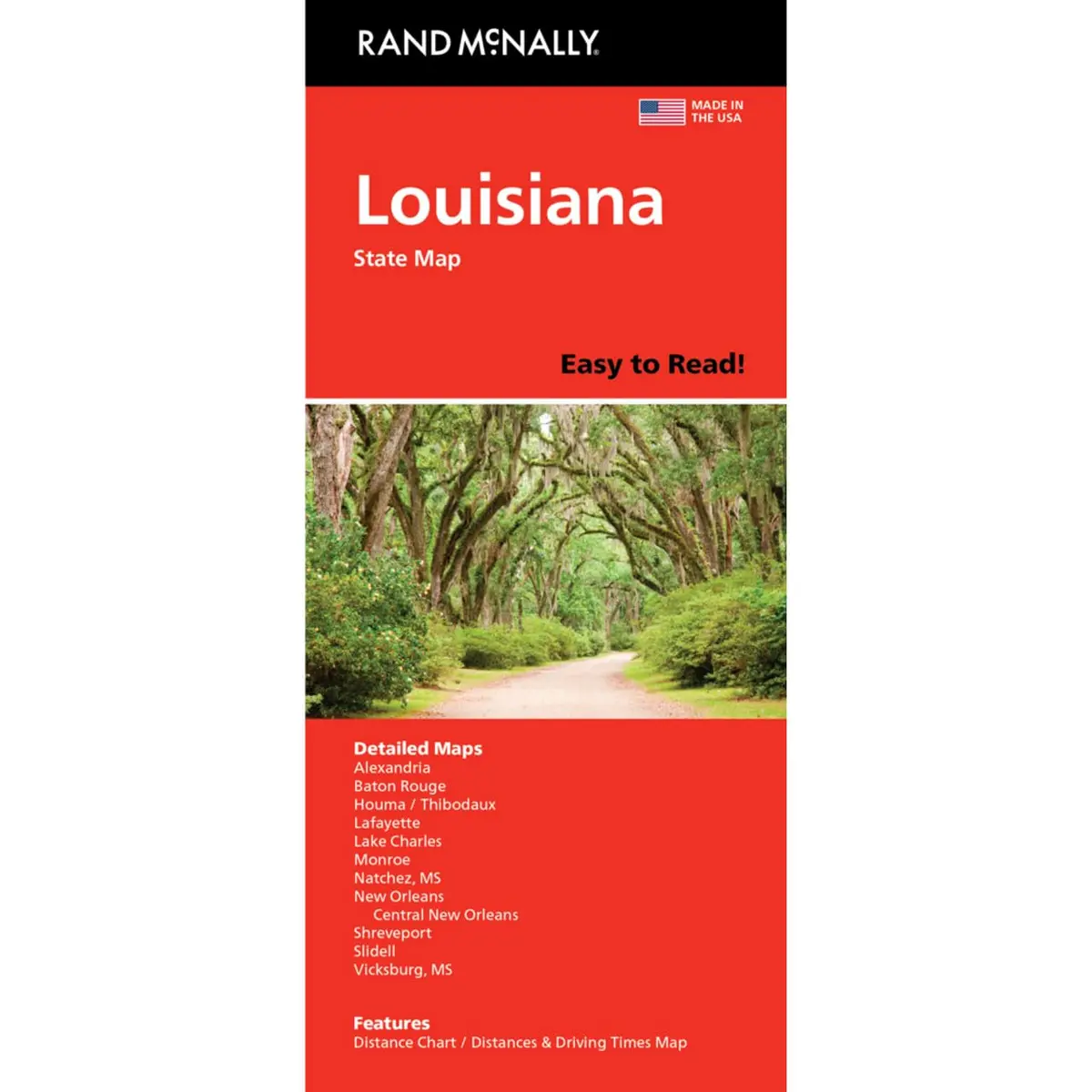

Description
Rand McNally‘s Easy To Read! State Folded Map is a must-have for anyone traveling in and around Louisiana, offering unbeatable accuracy and reliability at a great price. Our trusted cartography shows all Interstate, U.S., state, and county highways, along with clearly indicated parks, points of interest, airports, county boundaries, and streets. The easy-to-use legend and detailed index make for quick and easy location of destinations. You’ll see why Rand McNally folded maps have been the trusted standard for years.
- Regularly updated, full-color maps.
- 29% larger map with a bigger type size than the Rand McNally Folded Map.
- Clearly labeled Interstate, U.S., state, and county highways.
- Indications of parks, points of interest, airports, county boundaries, and more.
- Mileage and driving times map.
- Detailed index.
- Convenient folded size.
- Coverage Area Detailed maps of: Alexandria, Baton Rouge, Lafayette, Lake Charles, Monroe, New Orleans & Vicinity, Downtown New Orleans, Shreveport.
- Product Details:
- Folded measures: 4″ × 9.5″.
- Folds out to: 28″ × 40″.
Explore more from our collection.
![Mexico Central Map By Guia Roji (Bilingual) (Spanish Edition) (English And Spanish Edition) [Map] Guia Roji 1](https://carpartsvault.shop/wp-content/uploads/2026/05/5196CDNB7GL._SL1000-t007Bz.tmp_.webp)


Reviews
There are no reviews yet.